
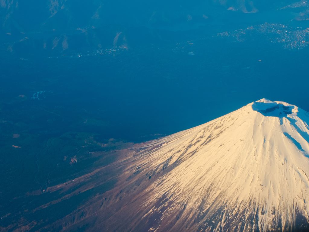
Every summer, roughly 200,000 people climb Mount Fuji. Most reach the crater rim just before dawn, photograph the sunrise, and head back down. Very few stop to wonder why the crater exists, why the cone is that precise shape, or why the rock beneath their boots is grey rather than black. Mount Fuji is the most photographed volcano on Earth and probably the least understood. This article changes that. Seven stops, from the lakeside to the summit, each one a lesson in how subduction builds a country.
Mount Fuji Geology: Why It Looks That Way
The symmetry is not accidental. Fuji is a stratovolcano, which means it was built layer by layer through alternating lava flows and ash deposits. Each eruption added a coat. Over roughly 100,000 years, those coats stacked into one of the most geometrically regular cones on the planet.
The grey color is the other giveaway. Iceland’s volcanoes are dark because they erupt basalt, the rock of ocean floors and hotspot plumes. Fuji erupts andesite, a rock that forms specifically when oceanic crust melts under pressure as it slides beneath a continent. Grey andesite is the signature of subduction. Every piece of rock on the mountain is a record of the Philippine Plate pushing under the Eurasian Plate at roughly 40 to 50 mm per year.
This is the detail most travel guides miss entirely. Fuji is not just a beautiful volcano. It is a textbook example of what happens when one tectonic plate consumes another.
7 Mount Fuji Geology Stops
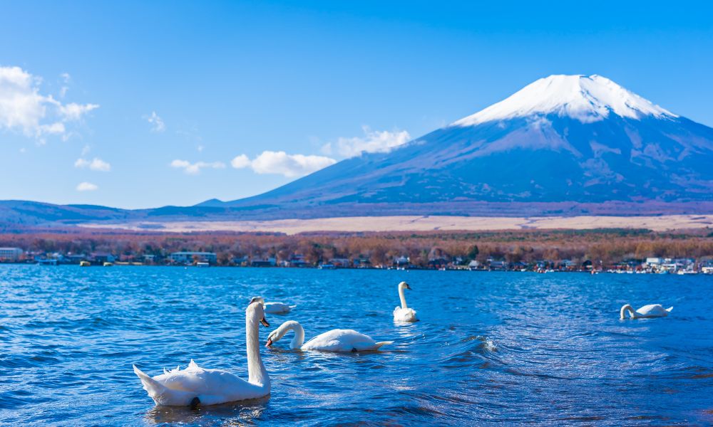
Stop 1 — Lake Kawaguchiko (830 m)
The Fuji Five Lakes sit in a depression formed by the collapse of an older volcanic edifice that preceded today’s Fuji. Kawaguchiko is the easiest to reach and the best starting point for reading the landscape. The flat valley floor you are standing on is ancient lava, cooled and colonized by forest. The lake itself occupies a lava-dammed basin. The geology started before you even begin to climb.
Stop 2 — Aokigahara Forest (900 m)
The dense forest at Fuji’s northwestern base grows directly on a lava field from the 864 AD Jogan eruption. The lava cooled unevenly, leaving a fractured surface of tunnels, caves, and depressions. The trees have rooted into cracks in the rock. Walk carefully and you will hear wind rising from underground voids below your feet. The forest is unusual not because of the stories attached to it, but because of the geology beneath it.
Stop 3 — Fifth Station (2,305 m)
The Yoshida trail’s fifth station is the most popular access point for summit climbers. It is also where you can clearly see the rock transition from forested soil to raw volcanic material. The exposed outcrops here are layered: alternating bands of lava and volcanic ash, each layer representing a distinct eruptive episode. Take a moment to count the visible bands. Each one is a separate event in Fuji’s construction history.
Stop 4 — The Permanent Snowfield (around 3,000 m)
Above roughly 3,000 m, snow persists year-round on the north face. This is not simply a climate feature. The snow feeds a network of springs that emerge at the base of the mountain and supply freshwater to the surrounding region. Fuji is not just geologically significant; it functions as a water tower for several million people. The volcanic rock is highly porous and filters rainwater and snowmelt over decades before it resurfaces as springs. The Oshino Hakkai springs, visible from the Fuji Five Lakes area, are fed by water that fell on the summit roughly 80 years ago.
Stop 5 — The Rocky Zone (above 3,200 m)
Above the vegetation limit, the surface becomes raw and unstable. The loose material underfoot is volcanic scoria, fragments of solidified magma ejected during eruptions. The darker, denser rocks are andesite. The reddish-brown coloring on some boulders comes from iron oxidation, a surface weathering process that happens slowly at high altitude. This zone gives the clearest visual sense of how the mountain was built: not by a single event, but by accumulated layers of explosive and effusive activity.
Stop 6 — The Crater Rim (3,776 m)
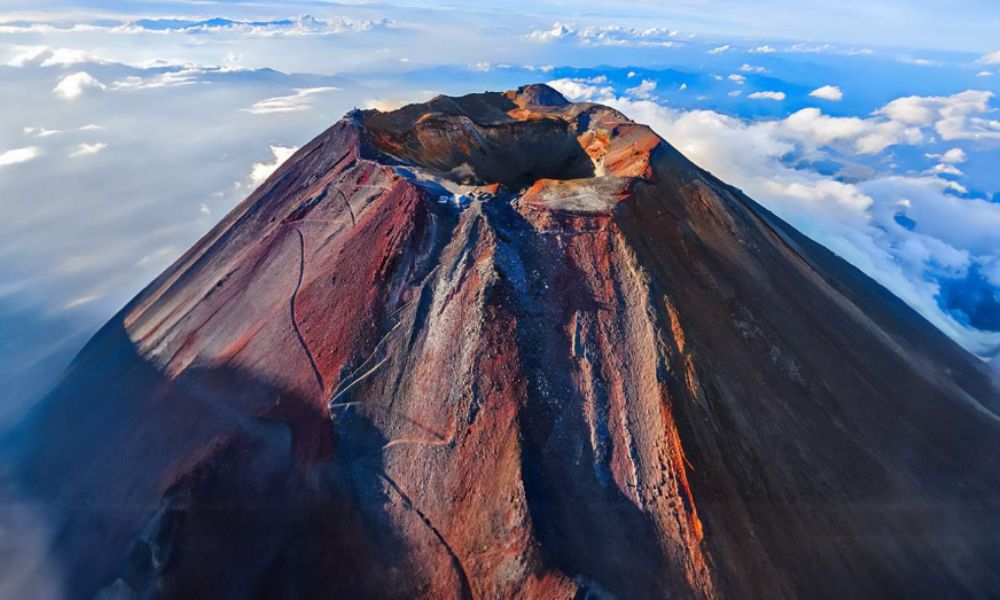
The summit crater is 780 meters in diameter and about 240 meters deep. It formed during the last major eruptive phase and has been modified by subsequent activity. Standing on the rim, you are at the top of a structure that began forming roughly 100,000 years ago and has been rebuilt multiple times by collapse and re-growth. The current cone is the youngest of at least three successive volcanic edifices that have occupied this site.
Stop 7 — The Crater Floor (accessible by descending inside)
Few visitors descend into the crater itself, but it is permitted and takes about 40 minutes to walk the rim. The crater contains small vents, fumarolic activity in some years, and a shrine. The interior rock surface is the freshest on the entire mountain, least weathered, and most directly connected to the volcanic system below. The National Research Institute for Earth Science and Disaster Resilience monitors seismic activity and ground deformation at Fuji continuously; their data shows that the volcanic system remains active, with the last magmatic intrusion recorded in 2000 to 2001.
The 1707 Eruption and What It Left Behind
Fuji last erupted in December 1707, during the Hōei period. The eruption lasted 16 days and deposited ash across a broad region, including what is now Tokyo. It was not a lava eruption but a violent explosive event that opened a secondary vent on the southeastern flank, still visible today as the Hōei-zan satellite crater.
The 1707 eruption was triggered, indirectly, by the Hōei earthquake 49 days earlier, one of the largest in Japan’s recorded history. The earthquake may have altered pressure conditions within Fuji’s magmatic system, contributing to the eruption. This sequence illustrates something geologists emphasize: Japan’s volcanic and seismic systems are not separate phenomena. They are expressions of the same tectonic reality.
According to the National Research Institute for Earth Science and Disaster Resilience (NIED), Fuji is classified as an active volcano under continuous monitoring. A future eruption, while not imminent, is considered a realistic long-term scenario by Japanese geological authorities.
Mount Fuji Geology Lessons No Guidebook Covers
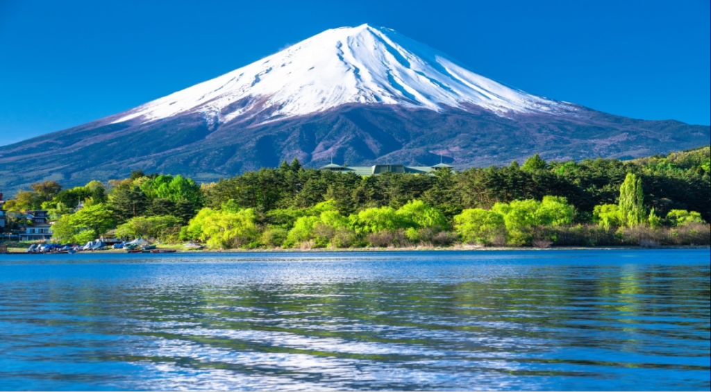
Fuji is often described as a symbol. The geological reading adds something the symbolic reading cannot: precision. This is a stratovolcano built by subduction, shaped by 100,000 years of layered eruptions, sustained by an active magmatic system, and connected to a regional tectonic network that includes every onsen, every earthquake, and every volcanic arc in Japan.
Understanding mount fuji geology explained through these seven stops does not diminish the experience of climbing it. It sharpens it. The shape, the grey rock, the snowfields, the crater: all of it becomes legible once you know the mechanism behind the landscape.
For a wider picture of Japan’s most geologically significant places, the Japan’s most geologically significant places brings together Fuji, Yakushima, Hakone, and Aso into a single guide for curious travelers.
Frequently Asked Questions
Is Mount Fuji going to erupt?
Fuji is an active volcano. It has not erupted since 1707, but Japanese authorities classify it as potentially active and monitor it continuously. A future eruption is considered possible over geological timescales, though there are no current signs of an imminent event.
Why is Mount Fuji so perfectly shaped?
The symmetrical cone results from centuries of layered eruptions that deposited lava and ash uniformly around a central vent. This process, typical of stratovolcanoes in subduction zones, builds regular, steep-sided cones. Fuji’s isolation on a relatively flat plain makes its symmetry even more visible from a distance.
Can you see the crater at the top of Mount Fuji?
Yes. The summit crater is about 780 meters across and can be walked around in roughly one hour. Descending into the crater is also permitted and takes about 40 minutes on foot. The crater floor contains small vents and a Shinto shrine.
À propos de l’auteur
Daniel is the founder of Geonatra. A geoscience communicator and long-distance traveler, he has spent two decades exploring volcanic landscapes across four continents. He writes about the Earth’s processes for people who travel with curiosity rather than a checklist. He is based between Europe and wherever the geology is interesting.