
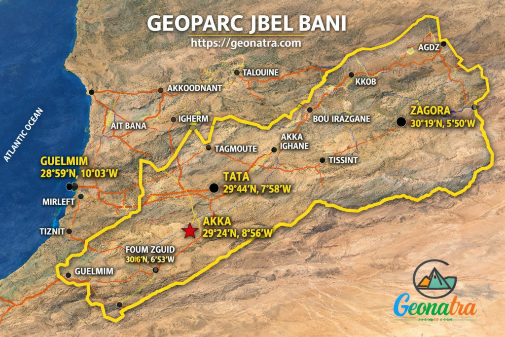
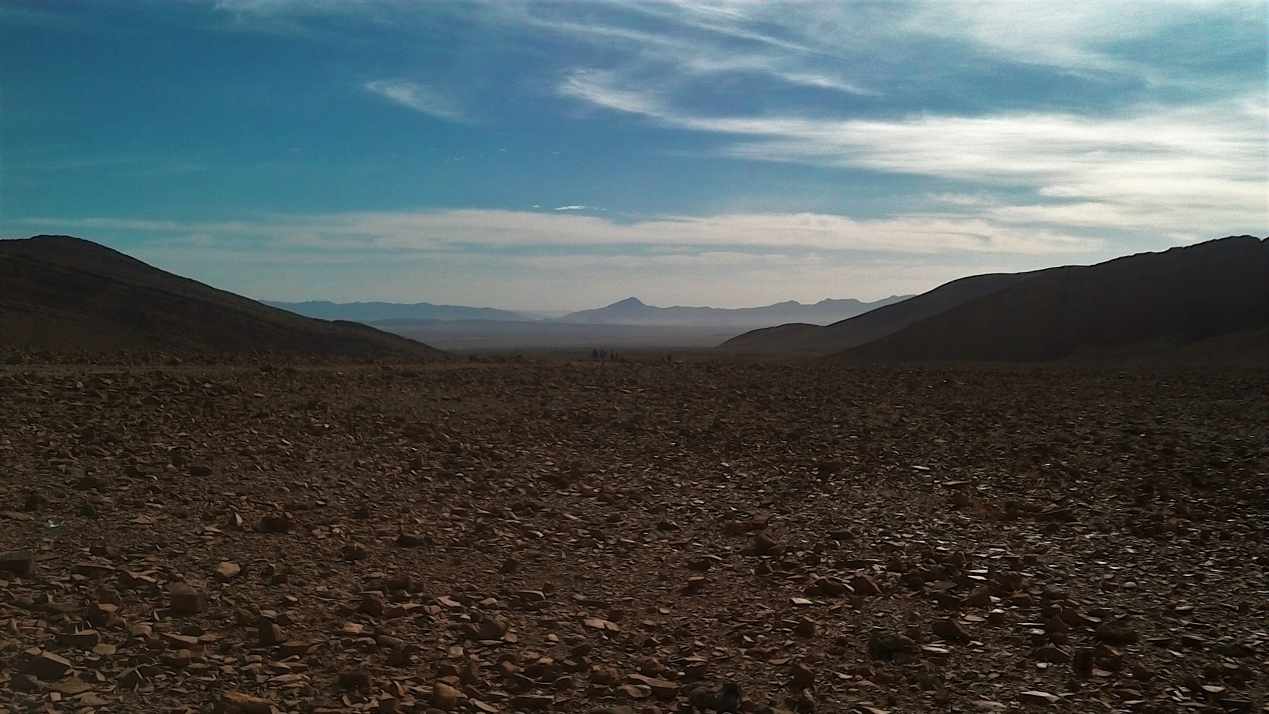
The road south from Tiznit runs flat for a long time, past argan trees and old irrigation channels, until it stops flat. A wall of pale rock rises out of the plain and keeps rising for hundreds of kilometers east, the last real barrier before the true Sahara. Most drivers read it as a border, the place where accessible Morocco ends. Few realize they are looking at two different geological ages stacked one on top of the other, laid down twenty million years apart, with an ice age buried in the younger one. Jbel Bani looks like a single wall. Jbel Bani geology tells a two-volume story instead.
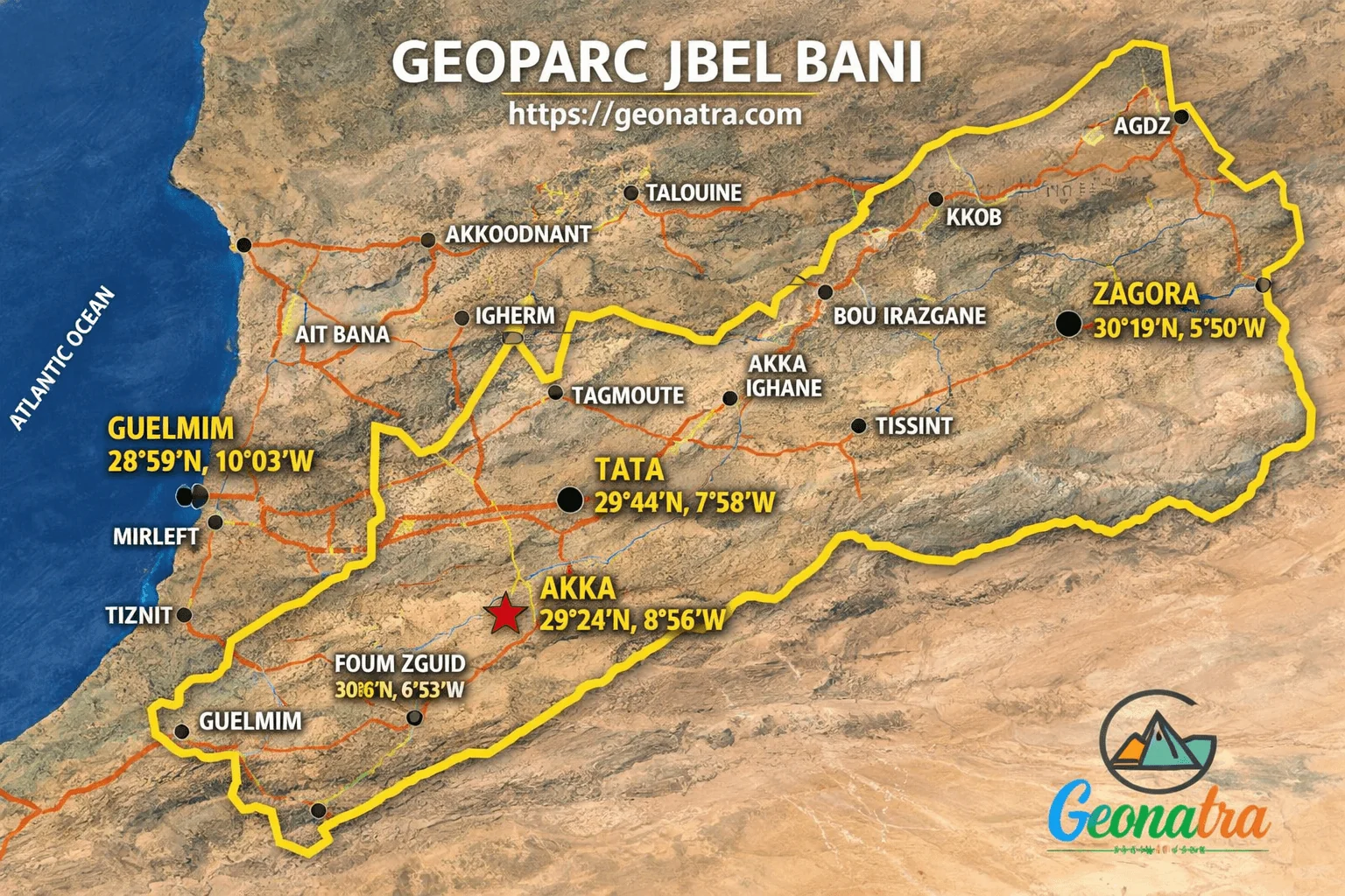
What Is Jbel Bani Geology
Jbel Bani geology begins with two Ordovician quartzite ridges, the First Bani and the Second Bani, laid down roughly twenty million years apart. The younger ridge preserves direct evidence of the Hirnantian glaciation, a global ice age that struck at the very end of the Ordovician Period, 445 million years ago, right before a mass extinction reshaped the oceans.
Two Ridges, Two Ages Apart
Jbel Bani geology starts with the First Bani, the older of the two ridges, a mature quartzite sequence that settled as coastal sand on the northern edge of Gondwana around 465 million years ago. It is well sorted and pale, the kind of rock that only forms after long transport and repeated reworking by waves, and it stands out wherever it outcrops, from Foum Zguid to Aït Semgane, rising proud above the softer shale around it. The same patient reading of rock runs through the wider Anti-Atlas Pan-African overview, where this ridge fits into a much longer timeline.
Between the two ridges sits a quieter interval of shale, the kind of rock that erodes fast and settles into low ground. Travelers cross it without noticing they have moved between two different chapters of the same story.
The Second Bani comes twenty million years later, formed at the very end of the Ordovician Period under conditions the First Bani never saw: a rapidly cooling planet, falling sea levels, and an ice sheet spreading across what is now one of the hottest deserts on Earth.
An Ice Age Written Into a Desert Ridge
Four hundred and forty five million years ago, Gondwana sat over the South Pole, and the region that would become the Sahara lay buried under ice. This was the Hirnantian glaciation, short but severe, and it coincided with the second largest mass extinction the planet has recorded. Somewhere between seventy and eighty five percent of marine species disappeared, undone by falling sea levels and a rapidly cooling ocean.
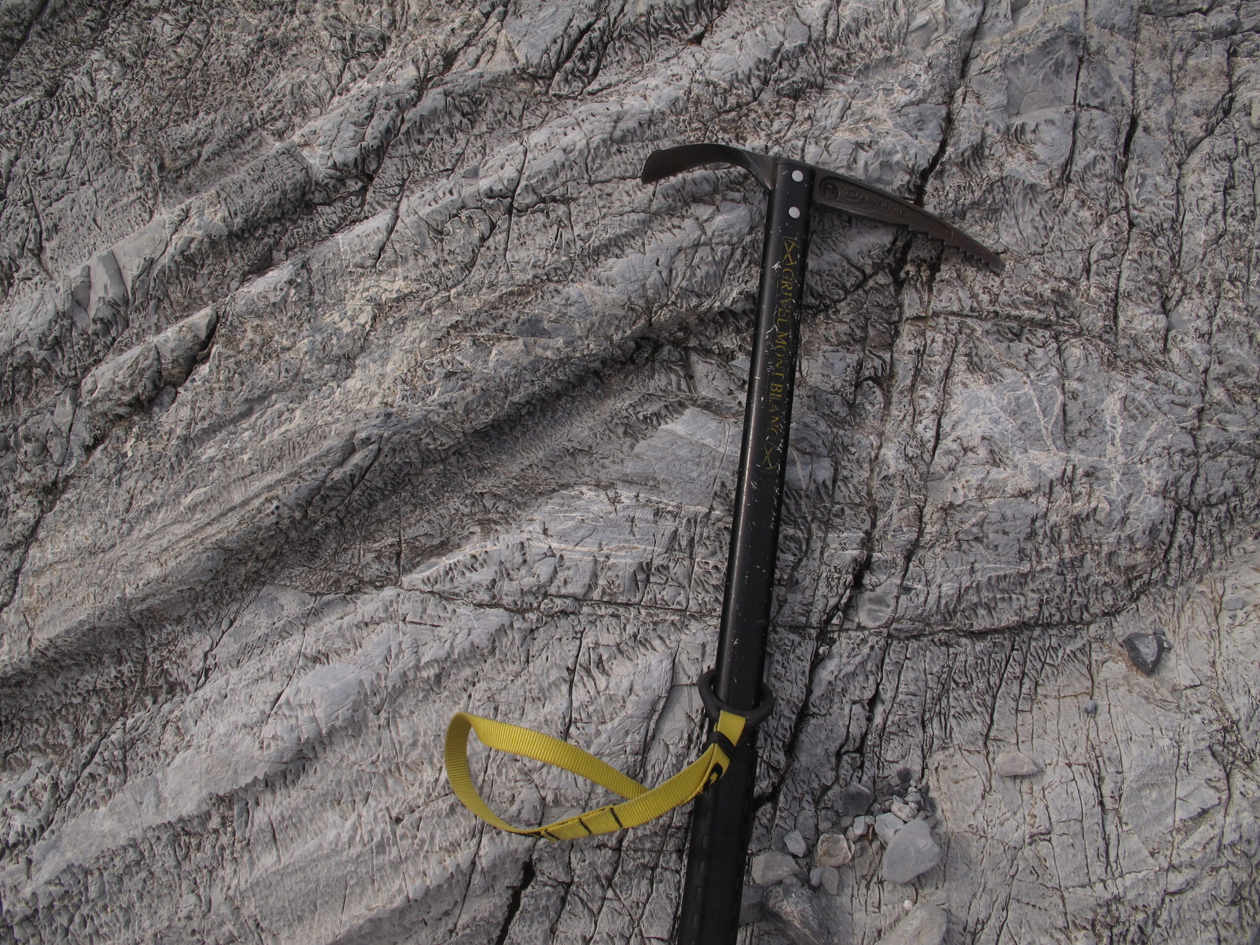
The Second Bani preserves the ground level evidence. Along its outcrops, geologists have mapped genuine glacial pavements, bedrock scoured smooth by moving ice, and diamictites, chaotic deposits of mud studded with pebbles dropped exactly where a melting glacier let them go. This is not a chemical proxy for a cold climate. It is the physical trace of ice grinding across ground that now rarely sees a cloud.
Trilobites through the lower sequence and graptolites higher up let geologists date the transgression that followed the ice retreat almost bed by bed.
Jbel Kissane, a Quartzite Amphitheater
Not far from Agdz, Jbel Bani geology takes an unusual turn: the First Bani folds into a syncline so clean it looks staged. Jbel Kissane is a bowl shaped ridge of quartzite perched above older shale, distinct enough to read as a geometric shape from satellite images taken kilometers overhead.
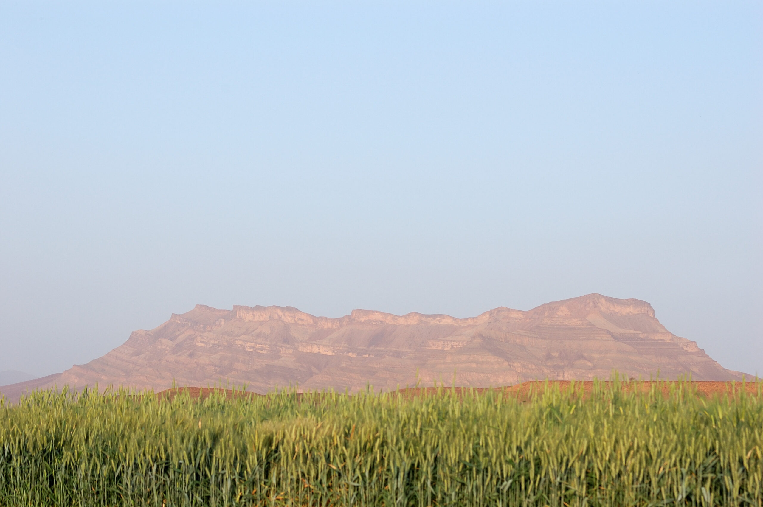
On the ground, it reads as a natural amphitheater, its quartzite rim catching the light while the eroded shale floor sits in shadow beneath it. Researchers cataloguing the region’s geoheritage for the Bani Geopark project have documented sites like this in detail, part of a broader inventory of the province’s geological record.
Structures this legible are the reason the Anti-Atlas keeps surprising geologists who expect North African terrain to be flat and featureless. It is closer to the opposite: folded, faulted, and in places genuinely glaciated, on a scale that rivals far better known mountain belts.
A Geopark Still Being Built
A project led by researchers at Mohammed V University, working with provincial authorities in Tata and Zagora, aims to turn this stretch of the Anti-Atlas into a recognized geopark. Worth being precise: Jbel Bani is not yet a UNESCO Global Geopark. It remains a geoheritage project, an inventory built toward eventual recognition.
That distinction matters for honesty, but it does not diminish the case for visiting. The same patient reading of rock that revealed a buried ocean at the nearby Bou Azzer ophiolite applies here: recognition, when it eventually arrives, will only formalize what the quartzite has already been demonstrating for 445 million years.
Reaching Jbel Bani works best as part of a longer loop through the region, one that also takes in the granite domes further west and the Anti-Atlas road trip that connects them.
Frequently Asked Questions
Is Jbel Bani a UNESCO geopark?
Not yet. It is an active geoheritage project led by Mohammed V University working with provincial authorities in Tata and Zagora, building toward eventual UNESCO recognition. The scientific inventory behind that effort is already well documented.
Do I need a 4×4 to see it?
A standard rental car handles the main routes through Tata, Foum Zguid, and Akka without trouble. Higher clearance only really helps on the unpaved tracks near Agdz, closer to the Jbel Kissane syncline.
When is the best time to visit?
October to April works best. Summer temperatures in this pre-Saharan zone routinely climb past forty degrees Celsius, which makes fieldwork genuinely risky rather than just uncomfortable, especially away from the main roads.