
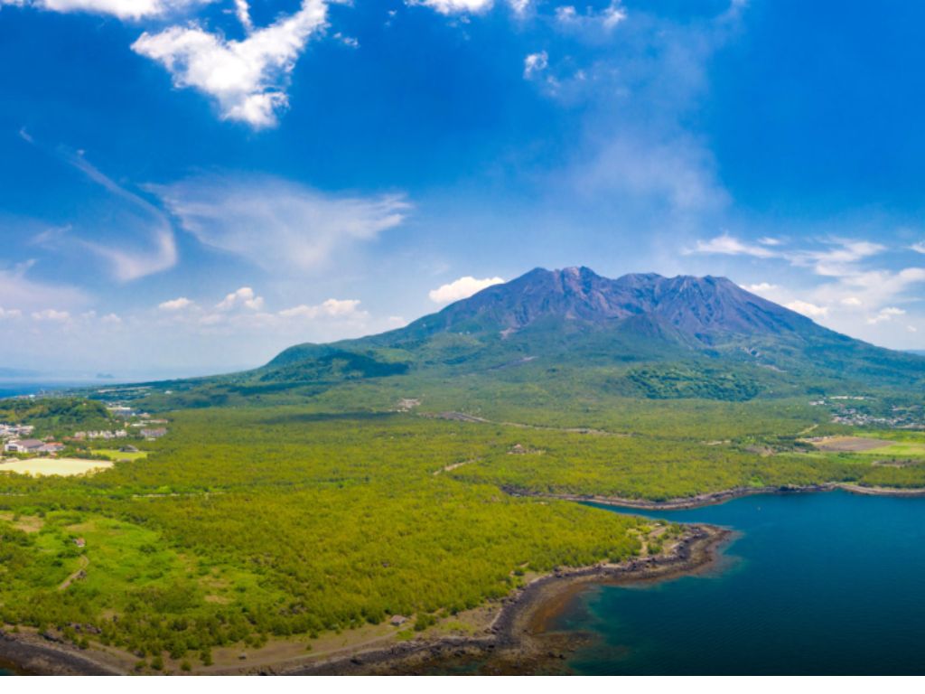
Yakushima geology explains why this ancient forest exists at all.. A 15-million-year-old granite batholith pushed the island high enough to trap rainfall, creating some of the wettest terrain on Earth. That hard, nutrient-poor rock forces trees to grow slowly, producing dense, resin-rich wood that resists disease and lasts millennia. The result: ancient cedars found nowhere else on the planet.
It rains on Yakushima. Persistently, generously, sometimes overwhelmingly. The summits of this small island in southern Japan receive up to eight meters of precipitation a year, a number that belongs more to a meteorological record than a travel guide. When you step into the forest for the first time, the moisture is almost tangible: moss covers every rock and root, the canopy filters the light into something green and diffuse, and the cedar trees stand so wide that it takes several people to embrace a single trunk.
These trees are not simply old. Some cedars here are estimated to be thousands of years old. The oldest known living specimen, the Jomonsugi, carries growth rings that may span more than two thousand years, and possibly far more. But age alone does not explain Yakushima. The real question is why this island, and not somewhere else. Yakushima geology holds the answer, and it begins underground, roughly fifteen million years ago, in a mass of cooling granite.
Yakushima Geology: A Granite Island Foundation
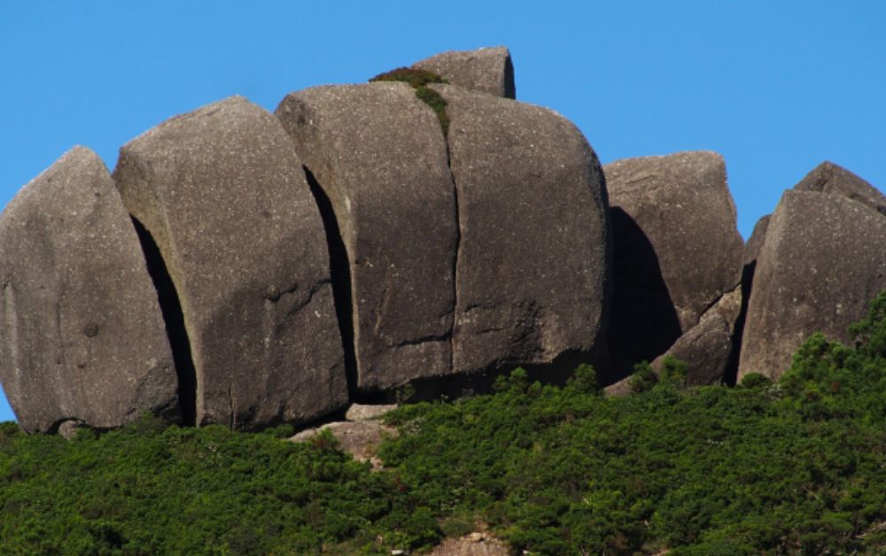
Yakushima is not a volcanic island. This distinction matters. Most of Japan’s dramatic landscapes are shaped by volcanic processes: lava flows, calderas, hydrothermal activity. Yakushima was built differently. It is a granitic batholith, a mass of igneous rock that formed deep underground when magma intruded into the crust during the subduction of the Philippine Sea Plate beneath the Eurasian Plate, then cooled slowly over millions of years before being pushed upward by tectonic pressure.
That granite is exceptionally hard and resistant to erosion. As surrounding softer rocks wore away over geological time, the Yakushima batholith held its ground and rose. Today the island’s highest peak, Miyanoura-dake, reaches 1,936 metres above sea level, making it the highest point in southern Japan. For an island measuring roughly 500 square kilometres, this is a remarkable elevation profile. It is also the geological engine of everything that follows. For a broader view of how subduction shapes the Japanese archipelago, the Geological Survey of Japan provides authoritative research on the mechanisms at work across the region.
Yakushima Geology and 7,000-Year-Old Trees
Granite weathers into acidic, nutrient-poor, fast-draining soils. In most forests, this would be a disadvantage. Here, it is the condition that selects for longevity. The yakusugi cedars (Cryptomeria japonica) growing on the island’s higher slopes are the same species planted across Japan as a timber crop, but on Yakushima’s granite, they grow two to three times more slowly than on richer lowland soils.
Slow growth produces dense wood with a high resin content. That resin resists fungi, insects, and decay. A yakusugi trunk that falls in the forest may take centuries to decompose, and the stump of a felled tree can remain structurally sound for thousands of years. The trees classified as yakusugi are those exceeding 1,000 years old. Trees younger than that are called ko-sugi, younger cedars, as if a millennium is merely a starting point.
This is not metaphor. It is biology driven by mineralogy. The poverty of the granite soil created the selection pressure that shaped these trees into what they are.
Eight Meters of Rain a Year
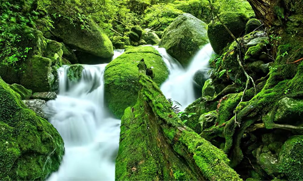
The elevation created by the granite batholith does something else: it intercepts moisture. The island sits where warm, wet air masses moving northward from the Pacific meet the high terrain of the interior. Clouds stall, condense, and release their water. The summits receive more rainfall than almost anywhere else in Japan. Lower slopes and coastal areas are drier, but even there, rainfall is substantial by most global standards.
That constant moisture flows over and through the granite, feeding streams and waterfalls, keeping the forest floor perpetually damp. The moss that coats every surface is not decorative. It is a water retention system, a biological sponge that regulates soil humidity through dry spells and prevents runoff during heavy rains. The entire forest is a hydrological network built on rock.
Yakushima Geology: Isolation as an Argument
Yakushima’s final advantage is its distance from mainland Japan, roughly 60 kilometres south of Kyushu across the Osumi Strait. That separation is recent in geological terms, but long enoughin human terms to have protected much of the interior from large-scale settlement and logging. The island’s rugged granite terrain made agricultural development difficult. Most of the population historically remained along the coastal lowlands.
The primary forest in the interior was largely left intact until the 20th century, when timber extraction began. The stumps of felled yakusugi from the Edo period still stand in the forest today, covered in moss, slowly returning to the soil from which they grew. In 1993, the island’s interior was inscribed as a UNESCO World Heritage Site, one of the first two natural sites in Japan to receive that designation. The criteria cited biological diversity and the presence of a living ancient forest unlike any other on Earth.
Reading Yakushima Geology Like a Geologist
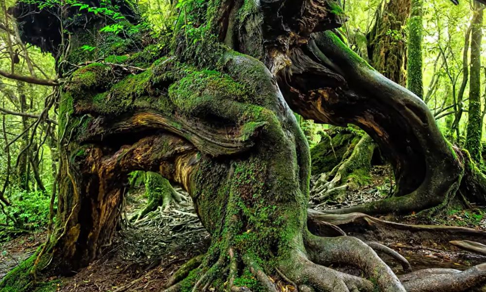
Walking toward the Jomonsugi takes between four and five hours each way from the Arakawa trailhead. The path follows a disused logging railway before ascending through the heart of the forest. What you are reading as you walk is a geological sequence. The lower slopes, on deeper soils, support mixed forest with more species diversity. As elevation increases, the granite becomes more exposed, the soil thinner, and the tree species narrow down to the hardiest survivors.
The Jomonsugi itself stands on a steep granite slope, its roots spread wide over the rock surface because there is nowhere else for them to go. The tree does not grow in spite of the granite. It grows because of it. The rock provides stability without fertility, and that distinction made these trees what they are over thousands of years. As with Mount Fuji’s geological stops, what makes Yakushima worth visiting is not just what you see, but understanding why it looks the way it does.
Visitor numbers on the Jomonsugi trail are now managed through reservation systems and daily caps. This is worth noting: Yakushima is one of Japan’s clearest examples of a site where geological and ecological fragility has required active management. The moss, the roots, and the soil are sensitive to foot traffic. The forest that took thousands of years to grow can be degraded in a single busy season.
Frequently Asked Questions
How old is the oldest tree on Yakushima?
The Jomonsugi is the most famous ancient cedar on the island. Age estimates vary: official figures from the Forestry Agency place it at around 2,170 years old based on core sampling, while some researchers suggest it could be considerably older, potentially exceeding 7,000 years. The uncertainty itself reflects something real: very old trees become hollow at the core, making precise ring counting impossible.
Is Yakushima a volcanic island?
No. Yakushima is not volcanic. It is a granitic batholith, formed when magma cooled deep underground during a subduction process, then was pushed upward over millions of years. This is what distinguishes its geology from most of Japan’s famous landscapes, and it is directly responsible for the slow-growing, long-lived forest the island is known for.
When is the best time to visit Yakushima?
March to May and September to November offer the most manageable conditions: moderate temperatures, less typhoon risk, and lighter crowds on the main trails. Summer (June to August) brings heavy rainfall and occasional typhoons. Winter sees snow at higher elevations. There is no truly dry season on Yakushima, which is part of what makes it the island it is.
About the Author
Daniel is a geotourism writer and the founder of Geonatra. A geologist who travels to understand the Earth’s story, from mid-ocean ridges in Iceland to the subduction zones shaping Japan. His work bridges geology and travel for curious readers who want more than a destination: they want to understand how it was made.