
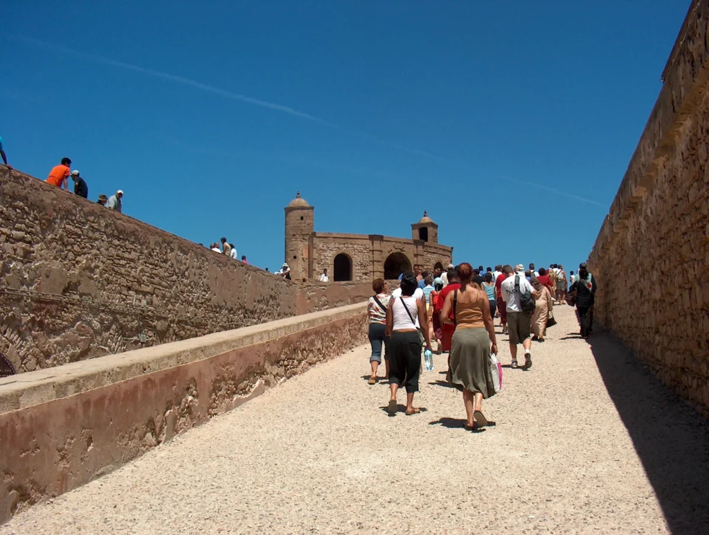
Essaouira coast geology begins with a simple fact most visitors never notice: the Moroccan Meseta, the ancient structural backbone of western Morocco, once reached much further west than it does today. Walk out onto the Atlantic ramparts of Essaouira at low tide, look north toward Cap Sim, and you are standing on the edge of a landmass that has been slowly eaten away. Around 10 million years ago, the Atlantic started to grind the Meseta back inland, carving the limestone cliffs you see today. The story of Essaouira coast geology is the story of that erosion, told in white rock, black basalt, and the strange island of Mogador that still refuses to disappear.
Where Essaouira Sits on the Moroccan Meseta
The Moroccan Meseta is a geological province, not a tourist region. It is the stable, flattened core of western Morocco, roughly bounded by the Atlas Mountains to the east and south and the Atlantic coast from Agadir to Tangier. The Meseta is what remains of a Paleozoic mountain belt that was raised around 300 million years ago (during the same Variscan orogeny that built the Jbilet Hills near Marrakech, which we covered in a dedicated field guide to the Marrakech desert excursion), and then slowly worn flat over the next 200 million years.
Essaouira sits on the western edge of this flattened province, where the Meseta meets the Atlantic. It is a geographical hinge: the ancient Paleozoic basement is here, but it is buried under hundreds of meters of younger sedimentary rock laid down when parts of the Meseta sank and were covered by shallow seas during the Cretaceous and the Miocene. That younger cover is what tourists see as the white cliffs and sand-colored city walls. The old basement is still there, quietly, 300 to 500 meters below the medina.
The Atlantic Started Eating the Meseta Around 10 Million Years Ago
The modern coastline of Essaouira is young. Around 10 million years ago, during the late Miocene, the Atlantic Ocean began a sustained advance against the Moroccan west coast. Sea level rose and fell with the climate, but the long-term trend was erosion: wave action, chemical weathering of limestone, and the constant salt-laden wind from the trade winds (the famous alizés that have made Essaouira a kitesurf capital) all combined to grind the Meseta back inland.
Essaouira has retreated east by an estimated 20 to 30 kilometers since the start of this process. What is now open ocean west of the medina was once dry Meseta. The port of Essaouira is built in a protected cove that only exists because a hard outcrop of calcareous sandstone, now the base of the island of Mogador, resisted erosion long enough to shelter the bay behind it. Without Mogador, there would be no safe harbor here, and the city would never have been built where it was. For the broader regional context, the Moroccan Meseta on Wikipedia gives a complete overview of the Paleozoic basement that underlies all of this.
The Three Rocks You Can Actually Touch in Essaouira
1. Miocene limestone (the city itself)
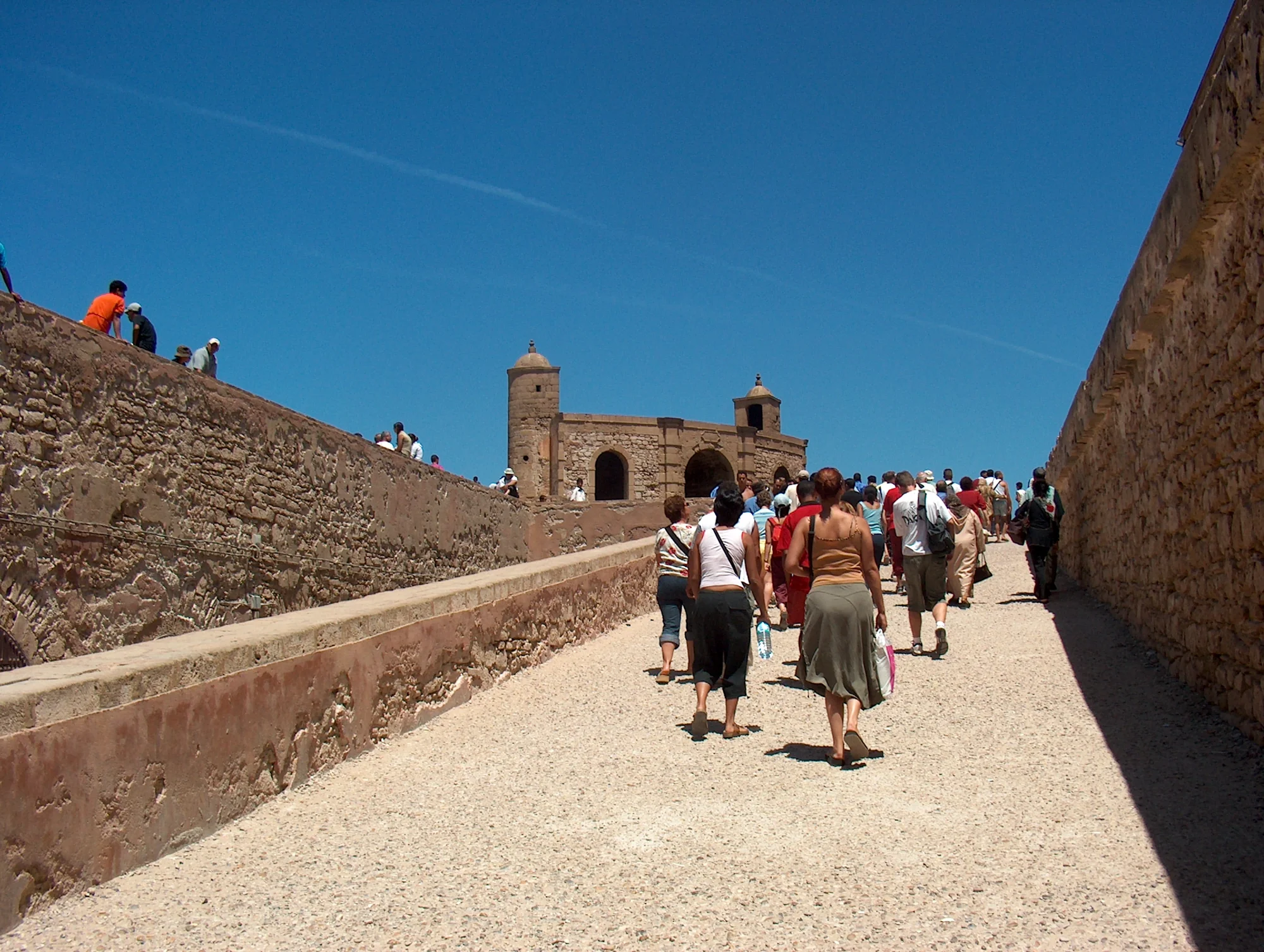
The Portuguese ramparts of Essaouira, the walls of the medina, and the pavement of the old port are mostly cut from a Miocene limestone that was deposited around 15 to 10 million years ago in a shallow warm sea. It is a cream-colored, slightly porous rock, soft enough to cut with hand tools, which is why the entire city could be built so quickly in the 18th century on orders from Sultan Mohammed III. Look at the big blocks of the Skala du Port and you can often see fossil shells and bryozoans embedded in the stone. These are the ancestors of the mussels and barnacles you can still buy from the fishermen a few meters away.
2. Cretaceous calcareous sandstone (Mogador and the cliffs south of Diabat)
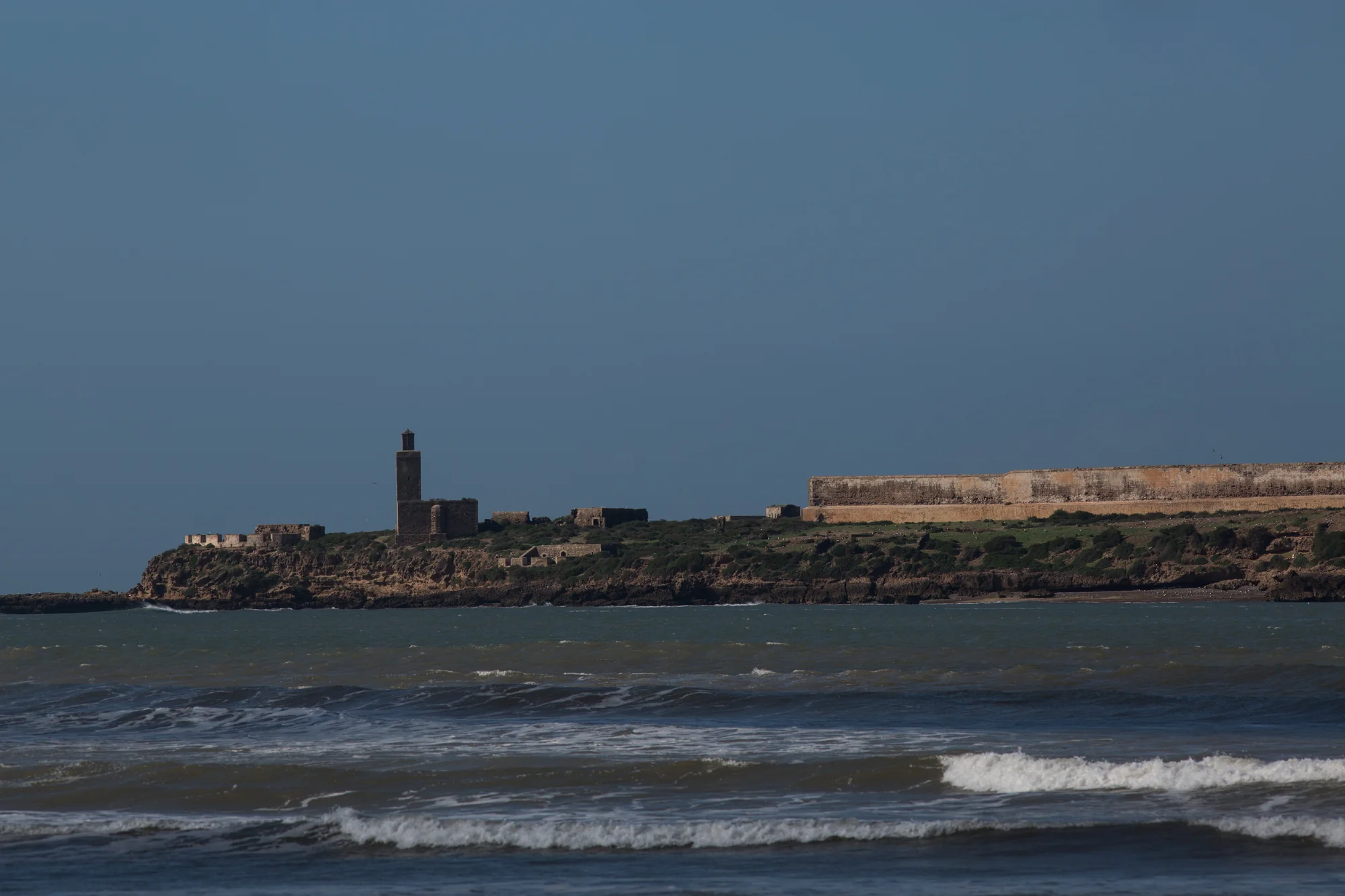
A harder, older rock underlies the Miocene limestone in places. It is a calcareous sandstone from the Cretaceous period, roughly 90 to 70 million years old, and it is the stuff that forms the island of Mogador and the taller cliffs south of Essaouira around Diabat and Cap Sim. This is why Mogador has not been eroded away: the Cretaceous rock resists wave action much better than the softer Miocene above it.
3. Quaternary beach deposits (the sand under your feet)
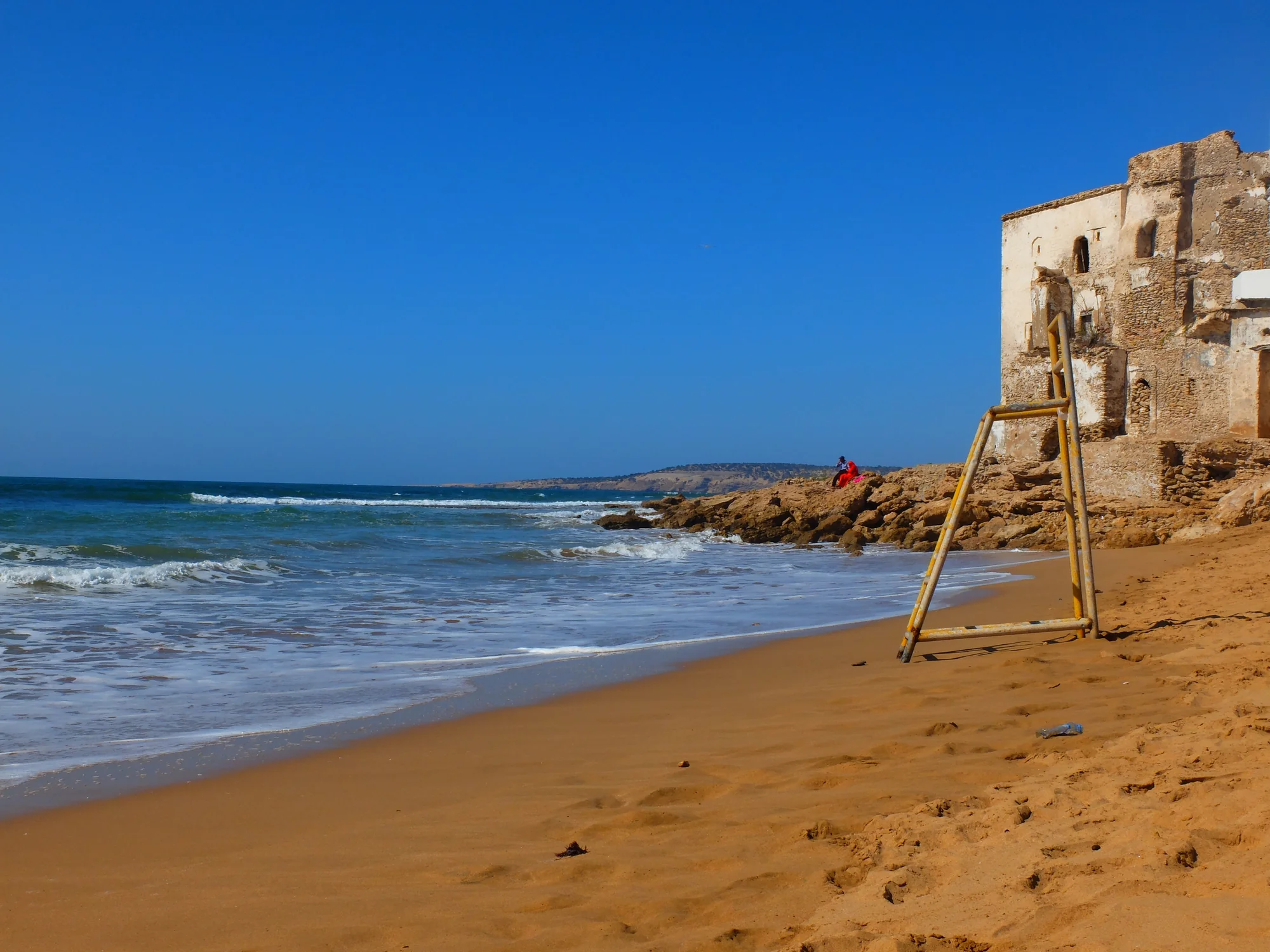
The famous long beach of Essaouira is made of modern Quaternary sand, mostly less than 2 million years old, and in some places less than 10,000 years old. The sand is a mix of ground-up Miocene limestone, pieces of Cretaceous sandstone from the surrounding cliffs, and shell fragments. If you look closely at a handful of Essaouira sand you can usually spot pale limestone grains, slightly pinker sandstone grains, and recognizable fragments of marine shells. All three signatures of the local geology, concentrated into a single beach.
Six Places to Read Essaouira Coast Geology Yourself
- Skala du Port — The 18th-century sea bastion is cut from local Miocene limestone. Look at the big blocks on the seaward wall for fossil shells.
- Mogador Island (viewed from the port) — The erosion-resistant Cretaceous outcrop that shelters the entire bay. Access is restricted, but the view from the port tells the whole story.
- Cliffs south of Diabat — A 20-minute drive south, these cliffs expose the Cretaceous and Miocene contact clearly. Low tide is best.
- Sidi Kaouki beach — 25 km south. The beach cuts into older Cretaceous sandstone and the cliffs show cross-bedding from ancient dune environments.
- Cap Sim lighthouse — The headland south of Essaouira stands on hard Cretaceous rock, which is why it has not been eroded flat like the softer coast north of the city.
- North beach dunes (Oued Ksob mouth) — Walk north along the beach from the medina to see active Quaternary dune formation, where wind is piling new sand into the hinterland.
The Ocean Breeze That Built the City
There is a straight line from Essaouira coast geology to its urban identity, and it runs through the wind. The trade winds that come off the Atlantic here are the strongest and most constant on the Moroccan coast, averaging 6 meters per second for most of the year. These winds exist because of a very specific setup: the Atlantic high-pressure system to the west, the Saharan low-pressure area to the east, and the funnel effect of the coastline cutting at an angle to the dominant flow.
The same wind that makes Essaouira a world-class kitesurf destination also kept the medina cool enough to be livable in summer, scattered the sand into the famous beach shape, and historically preserved the Portuguese fortifications by salting the air and discouraging the lichens that normally eat limestone. Everything downstream of the geology, including the city plan, the fishing economy, and the modern tourist industry, is in some sense a consequence of what the Meseta is doing underneath.
Frequently Asked Questions
Is Essaouira built on volcanic rock? No. The city sits on Miocene limestone with a Cretaceous sandstone basement below. There is no volcanism in the immediate coastal area, though the Jbilet Hills near Marrakech preserve much older Paleozoic volcanic rocks tied to the same Meseta story.
How old are the cliffs at Essaouira? The rock itself is 10 to 15 million years old (Miocene limestone), but the modern cliff shape has formed over the last few hundred thousand years as the Atlantic cut back into the Meseta. In places the cliff retreats by a few centimeters per year on average.
Can you visit the island of Mogador? Mogador is a protected natural reserve (home to the endangered Eleonora’s falcon), and visits require a permit from the Haut-Commissariat aux Eaux et Forêts. Most visitors content themselves with the dramatic view from the Essaouira port.
Where is Essaouira in Morocco geologically? On the western edge of the Moroccan Meseta, the ancient Paleozoic structural core of western Morocco, where it meets the Atlantic. This puts Essaouira coast geology in the same geological province as the Jbilet Hills, Rabat, Casablanca, and most of the Moroccan west coast.
About the Author
Daniel Harper writes Geonatra’s deep-time field guides, focusing on the geological backbone of landscapes most travelers walk through without noticing. He has worked the Moroccan coast from Agadir to Tangier over the course of three field seasons, and still thinks the best place to understand Essaouira coast geology is standing on the Skala du Port at low tide, when the Miocene limestone of the city, the Cretaceous sandstone of Mogador, and the Quaternary sand of the beach are all visible in a single view.