
The Morocco Atlas Mountains hide one of the planet’s most extraordinary geological stories. Set your hand against a red sandstone wall in the Aït Bouguemez Valley, deep in the High Atlas. The grain feels warm under the afternoon sun. Above you, a pale limestone band rises across the cliff like a watermark across an old page. Beneath your feet, somewhere out of sight, lies a basement of granites and gneisses older than almost anything else on the planet. Most travelers come here for the light, the Berber villages, the silence of the kasbahs. They leave without knowing they crossed three billion years of Earth history in a single afternoon. The Atlas is one of the rare places where the planet keeps its memory above ground, in plain view, waiting to be read.

What Is the Morocco Atlas Mountains Geological History?
The Morocco Atlas Mountains geological history covers nearly three billion years. Their core is the West African Craton, formed by ancient micro-continents. Younger ranges then folded onto it: the Pan-African Anti-Atlas, the Variscan Mesetas, and the Alpine Atlas chain born from a failed Triassic rift along the opening Atlantic.
The Country That Sits on a Three Billion-Year-Old Shield
Morocco sits on a corner of the African continent caught between three different stories. To the west, the Atlantic Ocean is still growing, widening by about two centimeters a year. To the north, the Mediterranean is closing, slowly squeezed between Africa and Europe. And under the southern half of the country lies one of the oldest pieces of crust on Earth: the West African Craton, a stable shield whose roots reach back nearly 3.5 billion years.
That position is rare. Most landscapes show one tectonic story at a time. A subduction arc. A rift. A collision zone. Morocco shows three at once, on the same piece of ground. Walk south from the Mediterranean coast and you walk backwards through time, from young Alpine fold belts to Variscan basement to Pan-African mountains to the oldest rocks the planet still holds at the surface. The deeper you go geographically, the deeper you go in time.
Morocco Atlas Mountains: A Range That Shouldn’t Exist
Geologists have a clean rulebook for mountain ranges. They form at plate boundaries, where two tectonic plates collide, slide, or dive beneath each other. The Alps, the Himalayas, the Andes all follow the rule. The Atlas does not.
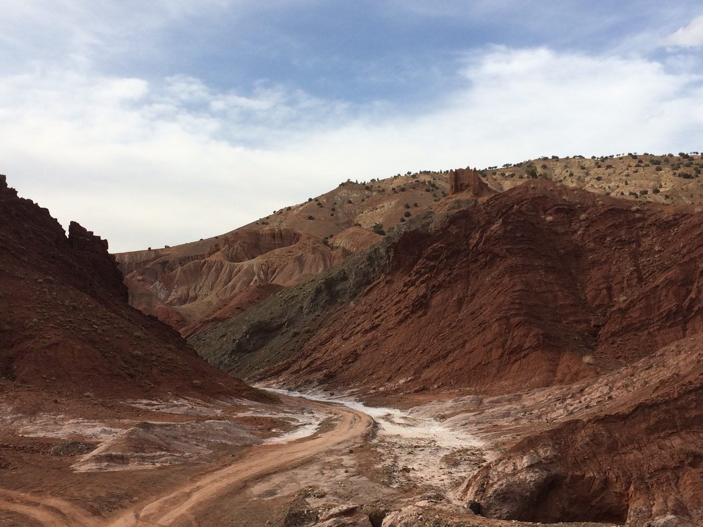
The Atlas is intracontinental. It sits in the middle of the African plate, hundreds of kilometers from any modern boundary. There are no ophiolites in its core, no slivers of ancient ocean floor that would prove a sea once closed here. The rift that should have opened during the Triassic, when the supercontinent Pangaea began to break apart, simply stopped. The crust thinned, salt and basalt poured into the basin, and then the spreading shifted west to give birth to the central Atlantic instead.
What stayed behind was a long bruise across northwest Africa: stretched crust, deep faults, and thick stacks of sediment. Two hundred million years later, when Africa started to push north against Europe, that bruise reopened in reverse. The old extensional faults were squeezed shut. They lifted the Atlas as a slow, awkward range, never quite finished, still rising today.
Five Mountain Ranges Stacked on One Land
What you walk through in Morocco is not one mountain range. It is five, stacked across geological time like layers of a cake.
The base is the West African Craton, around 3.5 billion years old, exposed in the southern Sahara and capped by some of the most potassium-rich rocks ever described on the planet, near Aousserd. Above it sits the Anti-Atlas, a Pan-African chain folded about 600 million years ago when a vanished ocean closed. It still holds Silurian fossils, orthoceras shells that lived more than two hundred million years before the first dinosaur.
The Mesetas come next, raised by the Variscan orogeny that built the supercontinent Pangaea around 300 million years ago. Then comes the Atlas itself, the Alpine chain we have been reading. And finally, the youngest layer: Plio-Quaternary volcanoes in the Middle Atlas, still cooling.
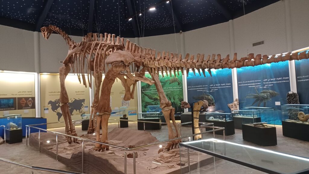
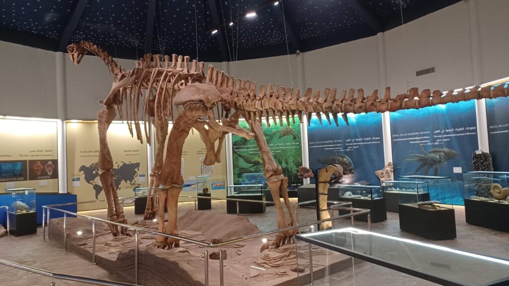
The M’Goun region is recognized as a UNESCO Global Geopark, the only one of its kind in the Maghreb. Its dinosaur footprints and skeletons, including an Atlasaurus eighteen meters long, are preserved in Jurassic limestones laid down when this corner of Africa was a warm, shallow floodplain.
Where the Earth Still Writes
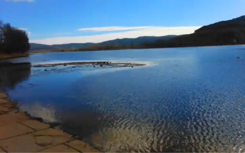
The Atlas is not finished. In September 2023, a magnitude 6.8 earthquake struck the western High Atlas, killing thousands. The fault that broke is part of the great transform line that runs offshore through the Canary Islands, linking mountain and sea. In the Middle Atlas, basaltic cones and crater lakes mark eruptions that happened during the lifespan of the first humans.
The Atlantic continues to widen. The Mediterranean continues to close. Africa is drifting north against Europe by a few centimeters each year, slowly raising the Atlas higher. This is a third kind of tectonic story. Compare it to Iceland’s living rift, where the crust is pulling apart on the Mid-Atlantic Ridge, or to Japan’s volcanic arc, where one plate dives beneath another. The Atlas tells the rarer story of a closed-up scar that is still being squeezed.
For anyone who walks here, the implication is quiet and large. The valleys, the cliffs, the kasbahs perched on Cretaceous limestone are not relics. They are sentences inside a paragraph the planet is still writing.
Frequently Asked Questions
How Long Do You Need on the Ground to See This Story?
A two-week loop from Marrakech through the High Atlas, the Anti-Atlas, and the Sahara edge covers the main chapters. Even a three-day visit to Aït Bouguemez or the M’Goun Geopark already gives you flat-lying Jurassic limestones, dinosaur footprints, and the Triassic red beds below.
Do You Need a Geology Background to Read the Atlas?
No. The Atlas is one of the most legible mountain landscapes on Earth, because erosion and a dry climate keep its layers visible. A guidebook and a curious eye are enough. A short field guide or a local geologist makes the reading deeper.
Where Is the Best Place to Start?
For first-time visitors, the M’Goun Geopark in the central High Atlas, the only UNESCO Global Geopark in the Maghreb. It offers marked trails, dinosaur footprint sites, and local guides who can read the rocks layer by layer.
About the Author
Daniel Harper writes for Geonatra from the field, reading landscapes the way others read libraries. His Morocco notebooks were filled walking the High Atlas valleys, the granite spurs of the Anti-Atlas, and the dune edge of the Sahara, with one quiet question in mind: how a country this dry can carry such a deep memory of water and time.