
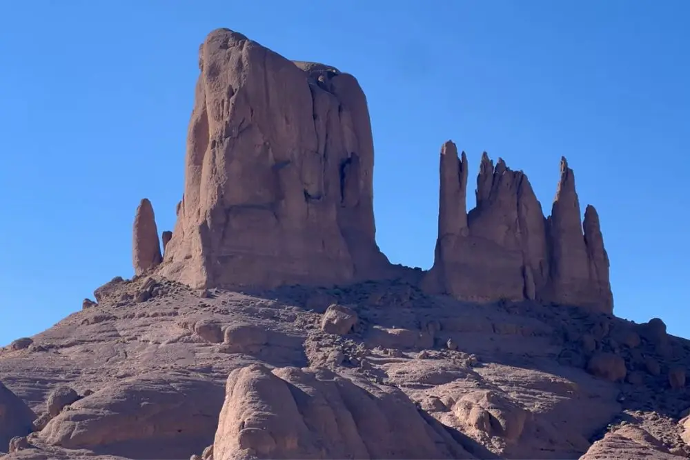
Jbel Saghro geology begins the moment you drive east from Ouarzazate and the land changes without warning. Green terraces give way to a maze of rust-colored towers, spires that look poured rather than built, standing alone in silence across a plateau the size of a small country.
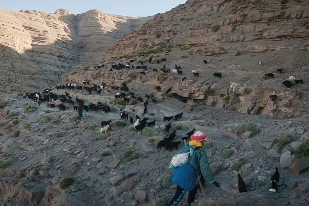
Nomads still move their goat herds through these canyons every spring, the same routes their grandparents walked a century ago. Few visitors know that every one of these towers is the frozen memory of a volcano that erupted more than half a billion years ago, before a single plant had colonized dry land anywhere on Earth. Jbel Saghro looks like a desert. Read correctly, it is a caldera.
Jbel Saghro Geology: The Short Answer
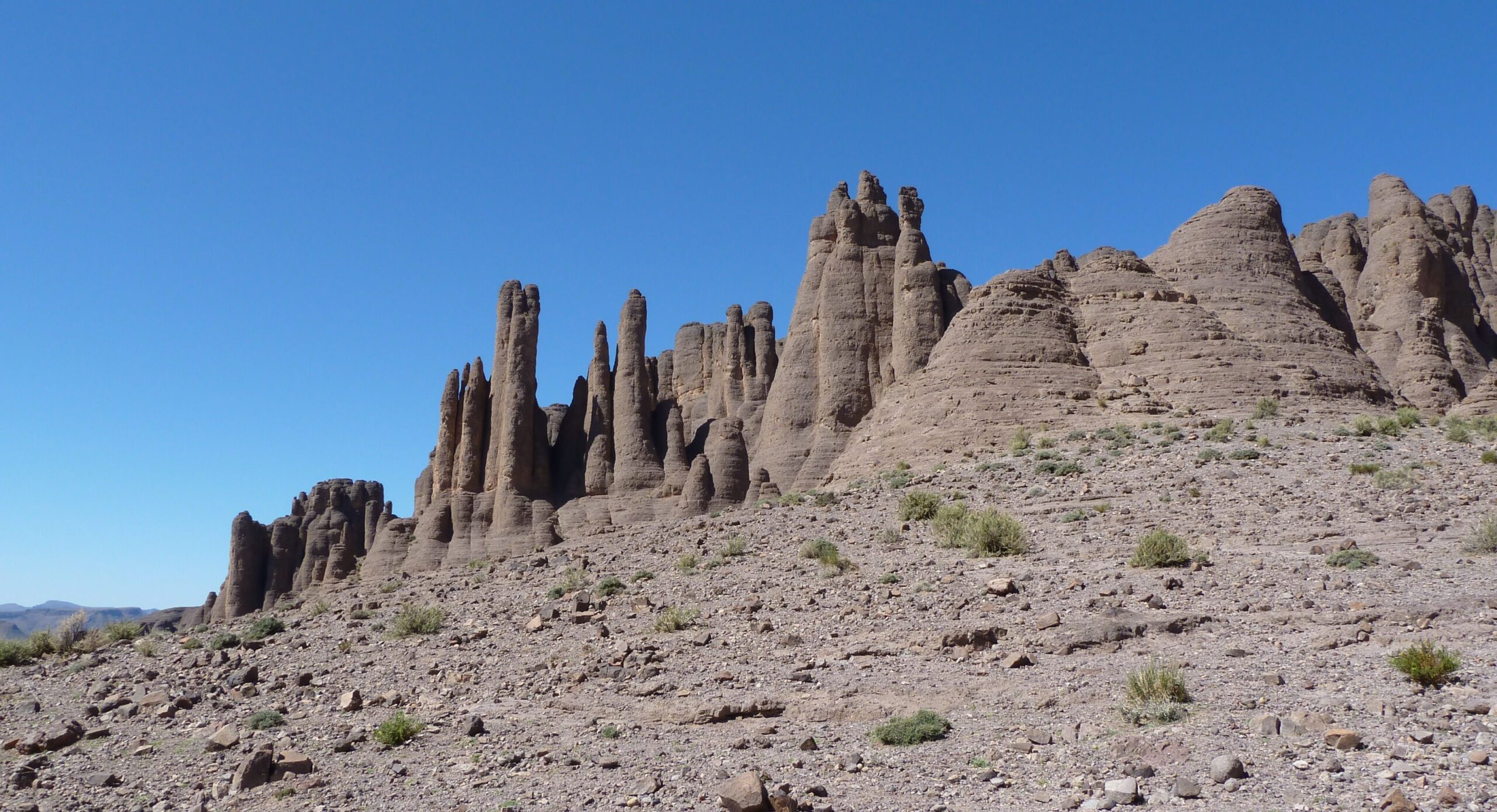
Jbel Saghro geology records a Pan-African volcanic arc active between roughly 575 and 555 million years ago, built from three major eruptive episodes of ash-flow calderas and thick ignimbrite. What looks today like isolated desert towers is the eroded remnant of that ancient volcanic plumbing, exposed after hundreds of millions of years of uplift and erosion.
A Volcanic Arc Older Than Complex Life
Jbel Saghro geology begins with rock even older than its famous towers. The oldest basement here, penetratively deformed volcano-sedimentary rock intruded by diorite and granite, dates to between 754 and 722 million years ago. Geologists have identified three distinct magmatic flare-ups on top of that basement, around 575, 565, and 555 million years ago, each one an episode of explosive, silica-rich volcanism on a scale that qualifies Jbel Saghro as part of a long-lived silicic large igneous province. These eruptions did not build a single cone. They built calderas, collapsed craters kilometers wide, filled and refilled with ash-flow deposits called ignimbrite. Layer by layer, over twenty million years, an entire volcanic province assembled itself in what is now one of the driest places in Morocco.
The Stone Towers of Isk n’Ifsane
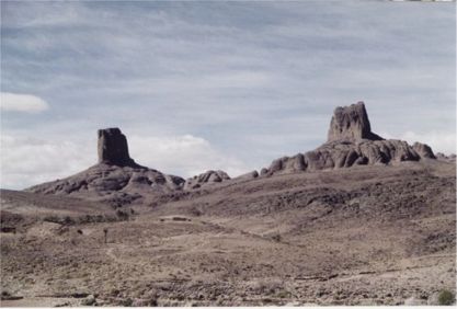
Ignimbrite is not an ordinary rock. Formed when scalding ash and pumice weld together under their own heat and weight, it resists erosion far better than the softer volcaniclastic and sedimentary layers around it. Over hundreds of millions of years, wind and flash floods have stripped away the weaker rock, leaving isolated ignimbrite towers standing like sentries across the plateau. A similar resistant cap, further west in the Anti-Atlas, protects the ridges of Jbel Bani, though there the armor is Ordovician quartzite rather than volcanic ash. Local Berber names describe the Saghro towers with more poetry than any geological survey: Isk n’Ifsane, the tiara of the pond, Isk n’Alla, my sister’s headdress, Isk n’Eferdj, the horns of plenty. The most photographed of them all, Bab n’Ali, forms a natural gateway of twin volcanic pillars. Visitors often compare the scenery to the American Southwest, another landscape shaped by the same basic mechanism, resistant rock protecting the ground beneath it while everything softer washes away.
Where Jbel Saghro Fits in the Anti-Atlas Timeline
Jbel Saghro is not an isolated curiosity. It is one named chapter in a much longer Neoproterozoic sequence that geologists divide into the Lkest-Taghdout, Iriri, Bou Azzer, and Saghro groups, each recording a different stage of the Pan-African orogeny that assembled this part of Gondwana. Research published in the International Journal of Earth Sciences identified clear evidence of a Pan-African volcanic arc and associated wrench-fault tectonics here, confirming that the volcanism was tied to active plate convergence rather than an isolated hotspot. The transition into the overlying Cambrian formations, the Anezi, Bou Salda, Dadès, and Tiddiline units, marks the point where this violent volcanic history quieted into the calmer marine sedimentation that would eventually bury it. Reading the Saghro massif means reading the last violent pulse of a supercontinent assembling itself, captured in stone before the Cambrian Explosion of life had even begun.
Living on an Extinct Supervolcano: The Ait Atta
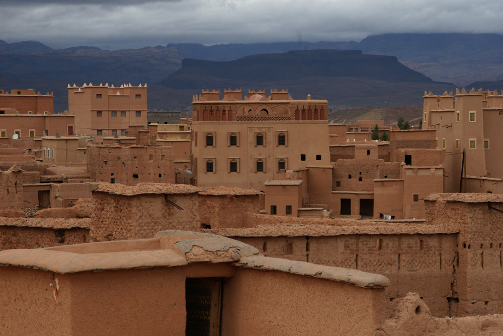
Long after the volcanoes fell silent, the Ait Atta made this terrain their own. Semi-nomadic Berber herders, they still move goat and sheep across Jbel Saghro’s canyons each season, timing their routes to scattered oases and almond groves the way their ancestors did for generations. In 1933, this same rock witnessed one of the final chapters of Moroccan resistance to French colonization, the Battle of Bou Gafer, where Ait Atta fighters made their stand in a landscape whose caves and towers offered natural fortification. It is difficult to separate the human history from the geological one here. The same erosion-resistant ignimbrite that built defensible high ground also built the isolated grazing valleys that made a herding economy possible in one of the harshest parts of the Anti-Atlas. For the wider three-billion-year arc this region belongs to, our guide to Anti-Atlas geology lays out the full sequence.
Frequently Asked Questions
How old are the rocks of Jbel Saghro?
The oldest basement rocks date to between 754 and 722 million years ago, but the volcanic towers that define the landscape today formed later, during three eruptive episodes around 575, 565, and 555 million years ago.
Can you trek or hike in Jbel Saghro?
Yes. Jbel Saghro is a well-established trekking region, typically explored over several days with Ait Atta guides, reaching its highest point at Amalou n’Mansour, roughly 2,712 meters, well below Morocco’s High Atlas peaks but remote enough that mule support and local guiding are standard.
Why do the rock towers form specifically in this landscape?
The towers are made of ignimbrite, a welded volcanic ash rock far more resistant to erosion than the softer sediment and volcaniclastic layers around it. As wind and rare flash floods strip away the weaker surrounding rock, the harder ignimbrite is left standing as isolated towers.